


6.1 km | 6.8 km-effort


User


FREE GPS app for hiking
 SityTrail
IGN / Geographical institutes
SityTrail World
The world is yours!
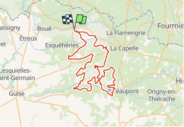
Trail Mountain bike of 76 km to be discovered at Hauts-de-France, Aisne, Le Nouvion-en-Thiérache. This trail is proposed by tracegps.
Boucle dans les vallées de la Thiérache, quelques bosses à passer, de nombreux passages en forêt, pas de technique, pas de grosse difficulté.
Walking

Mountain bike
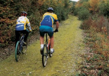
Mountain bike

Hybrid bike
Walking
Mountain bike

Walking
Walking
Walking